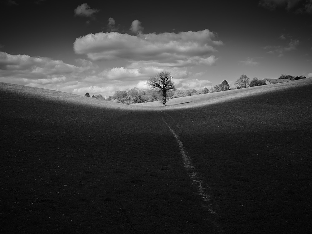
Walk #10: Ewelme to Northend (8.1 miles)
“…. all in all is all we are, all in all is all we are, all in all is all we are……”
Kurt Cobain and Dave Grohl’s two-part harmony on ‘All Apologies’, the last song on 90s’ rock band Nirvana’s final album ‘In Utero’, faded as Kirby’s Taxis arrived at the beginning of my next adventure of ‘A Constant Ramble – Walking The Chiltern Way’.
I’ve been a fan of Nirvana since the album ‘Nevermind’ was released in 1991. Given how Cobain ended his life, I have often pondered what he meant by the mantra of those words. They are simple yet thought-provoking with an element of resignation. He begins the song by asking “What else can I be? All Apologies.” He sounds exasperated at having to justify himself to someone who wished he was different, at the same time as speaking metaphorically to a larger audience and encouraging us to eradicate pretension and be true to ourselves.
Walking alone allows me the time and space to contemplate all that I am. And whilst doing so, I marvel that the paths I tread have been created by many feet over many centuries: paths are an imprinted record of the presence of life passing through time. I have, from an early age, wanted to leave my footprint in the sand: as I celebrate my 50th year, I realise these rambles symbolise precisely that.
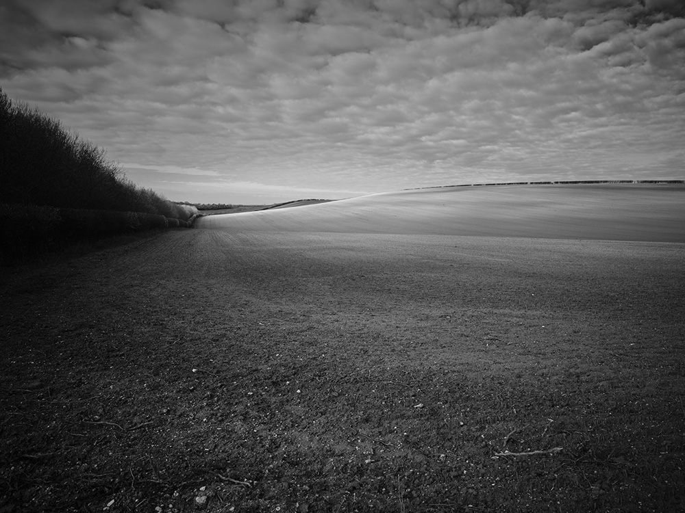
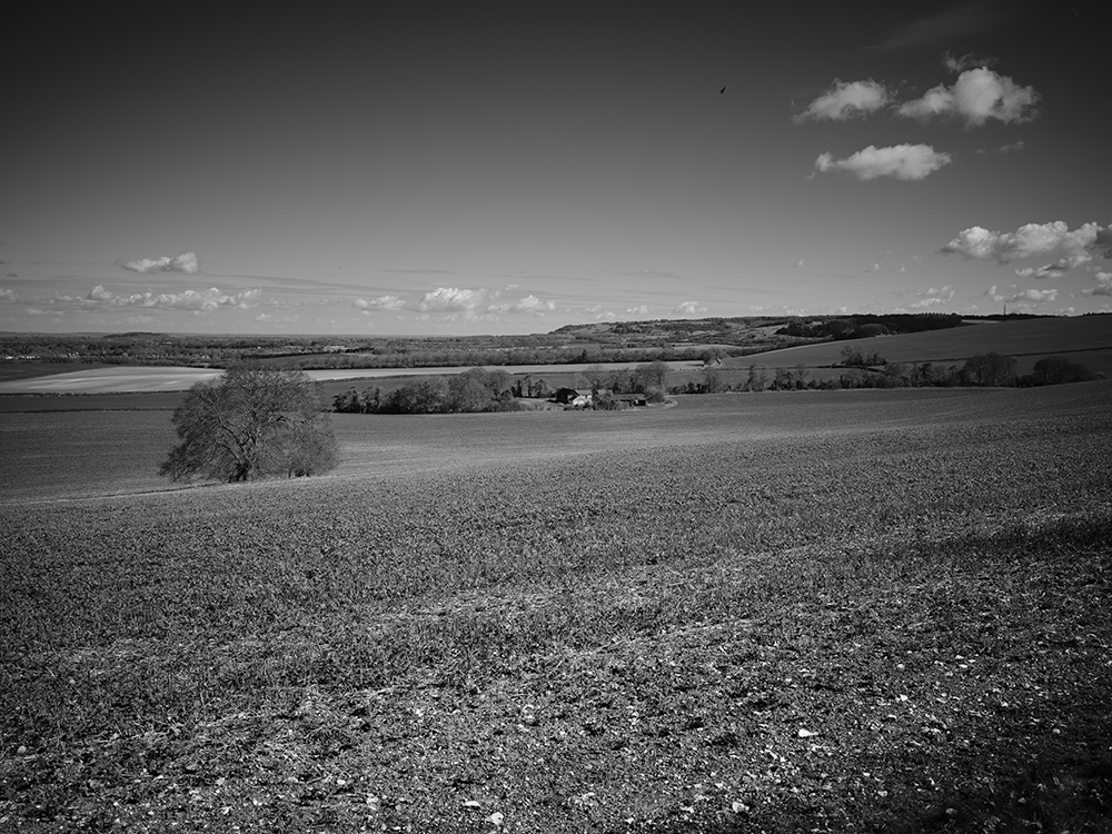
Ewelme to Northend, at 8.1 miles, is my most ambitious walk to date. I was looking forward to gazing across vistas from Swyncombe Downs promised in The Chiltern Way walking guide. As I left the village of Ewelme behind me, I found myself on a plain where recently ploughed fields met an overarching sky thinly veiled by morning cloud. It looked like the agricultural version of an artist’s blank canvas.
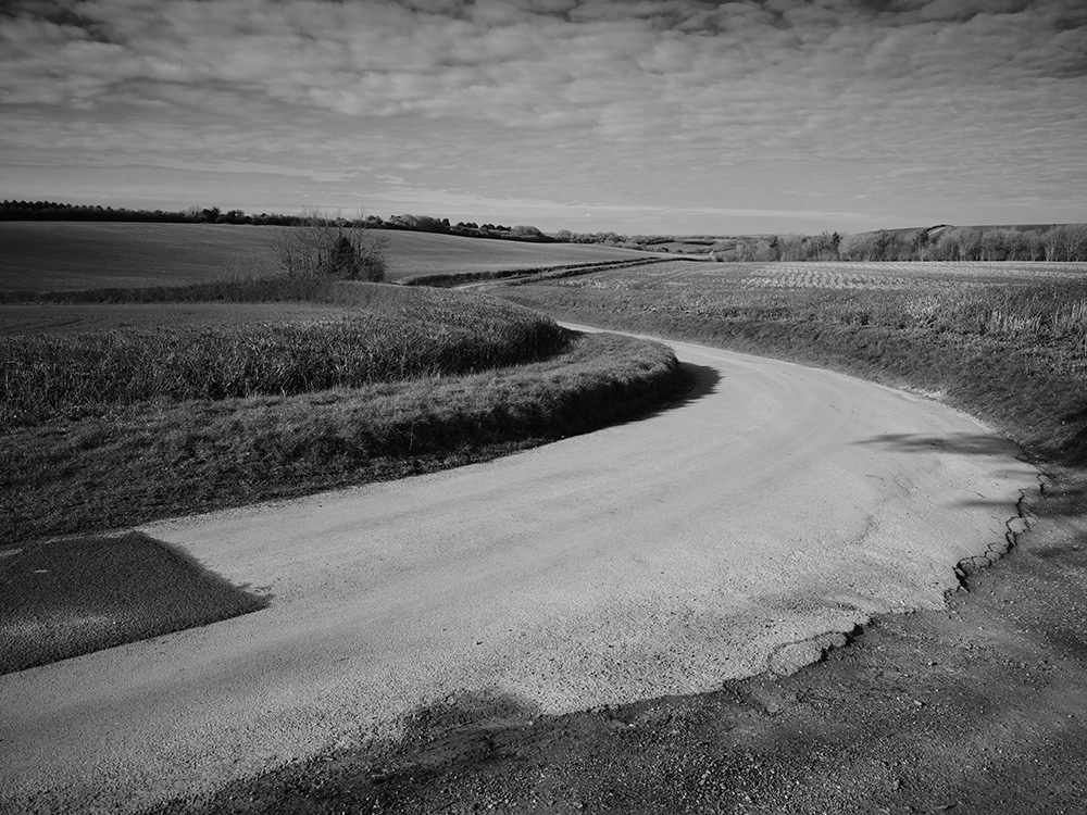
This grand clearing underpinned my mood of contemplation and made me realise how small we are as an entity, how fleeting is our time here, yet how much of the view is completely dominated by human endeavour. This feeling was cemented as I reached a country lane winding its way through the landscape like a giant snake.
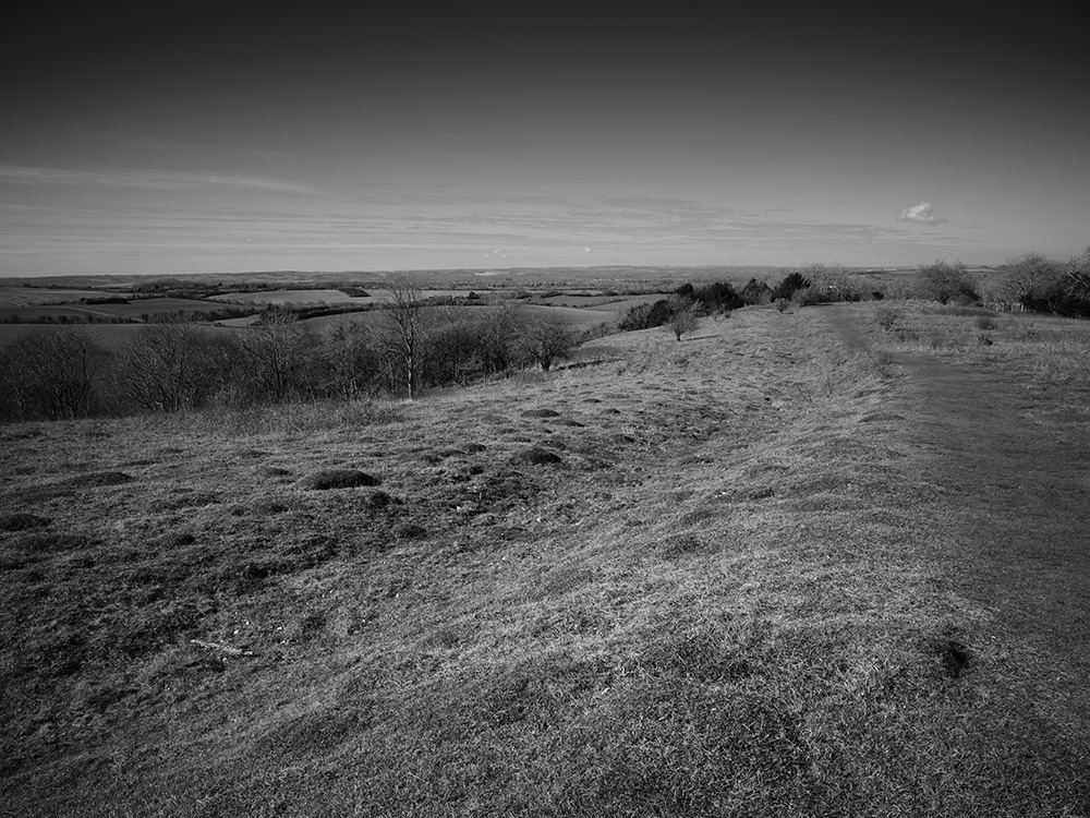
I was pleased to discover that the first steep climb would bring me atop Swyncombe Downs and along the ancient earthwork of the Danish Entrenchment. This is believed to mark the limit of the Viking insurgence into southern England known as The Danelaw, which was ultimately repelled by King Alfred of Wessex. My attempts to discover more about this specific ancient earthwork have proved limited, however, from the information I have discovered, it’s likely to be a defensive fortification or possibly a physical boundary marking the border between Danelaw and Wessex.
The juxtaposition of my tripod-mounted camera on this 9th century monument caused interest, and my concentration was broken by a woman’s voice.
“Lovely Day!”
I looked up, “It is indeed!” came my reply.
Husband-and-wife Trevor and Mary, and their dog Otis, were out for a morning stroll.
“What are you taking pictures for?”
I explained my limited knowledge of the Entrenchment in the hope they might know more, but they thought it was a barrow, so were thrilled to have this new information. During this exchange, another walker came by and stopped for a chat.
“Do you know what this is?” said Mary, pointing at the ground.
“It’s a barrow isn’t it?” came the walker’s reply.
“Well! According to Matt here, it marks the final boundary the Vikings got to while trying to conquer Wessex and southern England!”
“Well, I’ve been walking along here for 60 years and I never knew that!”
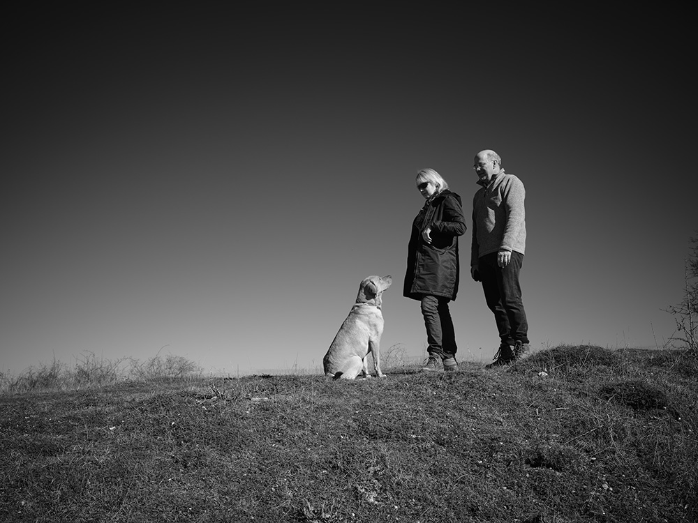
Mary and Trevor and their dog Otis, The Danish Entrenchment, Swyncombe Downs, Oxfordshire, UK. ©copyright Matt Writtle 2023.
I followed The Chiltern Way along the rest of the trench into a thin strip of trees, through which there were beautiful views towards Watlington Hill.
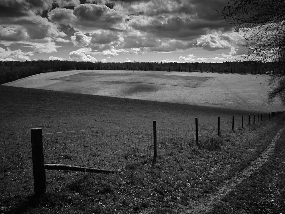
At the end of the trench The Chiltern Way veers right and joins The Ridgeway National Trail. It climbs steeply then descends almost as rapidly towards the medieval settlement of Swyncombe, Old English; Valley of the Wild Boar. Luckily I didn’t have to run from any, but there were plenty of sheep grazing in this beautiful hidden valley. What I found jarring was a rectangular fenced-off area in the middle of the field opposite. I can only assume it was to grow turnips to feed the sheep, but it looked as if someone had drawn it there with a ruler.
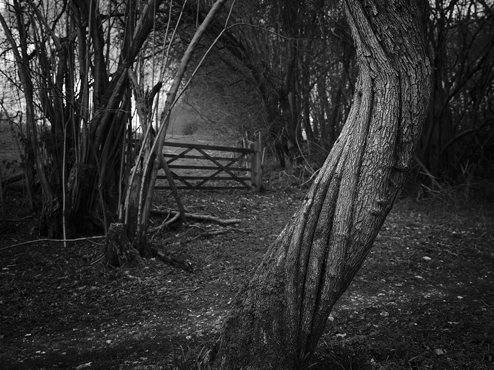
I re-joined The Chiltern Way through the grounds of Swyncombe House, which contains the 11th century St Botolph’s Church, one of the few in the Chilterns that is partly Saxon. The dramatic landscape of the Downs had given way to gentle undulation under the cover of woodland. I passed through Cookley Green and descended into a valley of déjà vu, punctuated by a rather unusual-looking twisted tree.
I realised I was back at the start of the Ewelme loop that I had begun on Walk 9 at Maidensgrove a month earlier. I climbed out of the valley and arrived at the village of Russell’s Water, so named after a local builder who had created a duck pond in the middle of the village. This seemed like a good place for lunch.
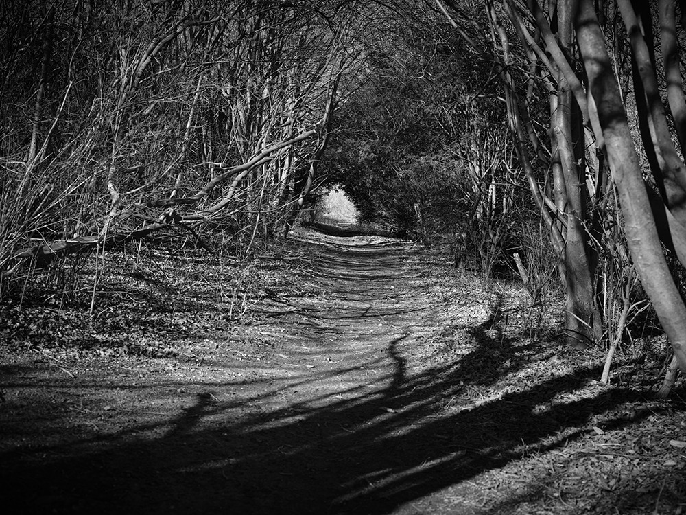
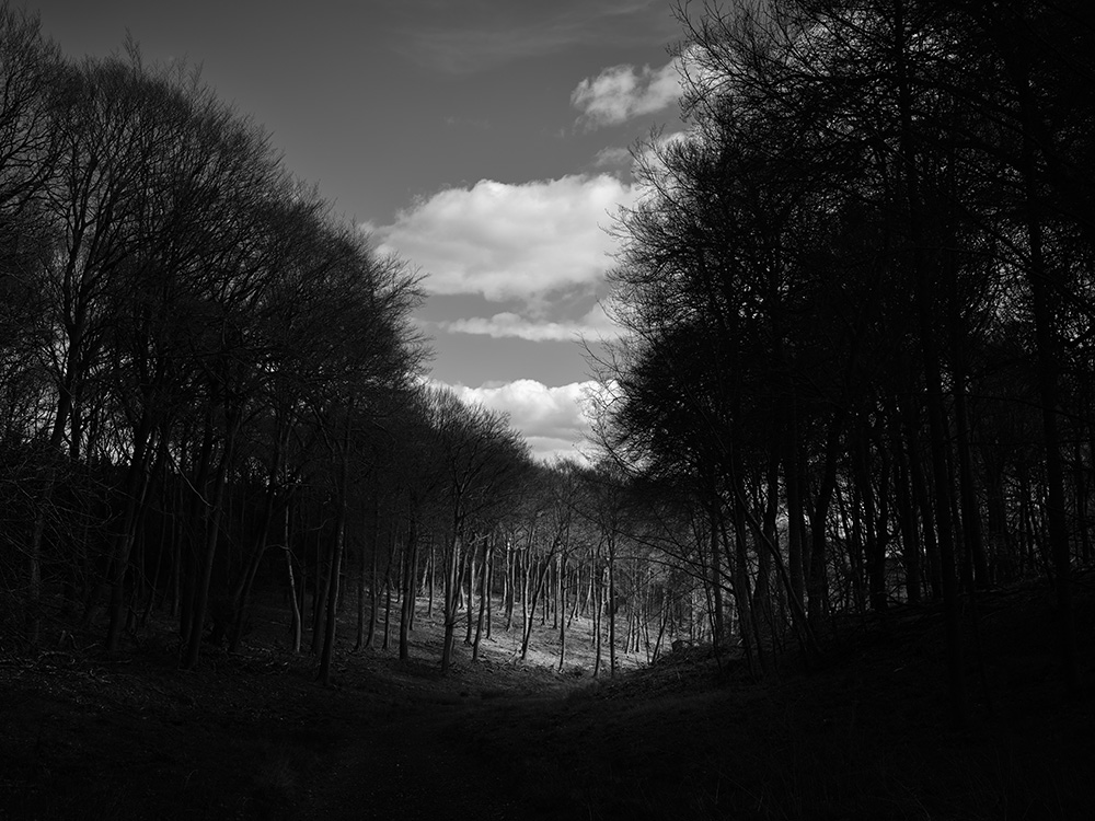
Satiated, I completed the final few miles through plantation woodland, the last of which delivered me into a shallow valleyed field punctuated with a solitary standing oak tree, until I reached my car at the common in the village of Northend.
The sun was warm by now, so I shed my boots and socks and started to massage my aching feet when, to my surprise, I heard the sound of many hooves galloping behind me. I swung around and saw a herd of fallow deer sprinting towards the woods at the end of the village. They were too quick to capture on my camera, but I did manage some video footage on my smartphone.
Matt Writtle is a photographer based in Chesham, Buckinghamshire.
SM: @mattwrittle @capturethechilternhills – www.mattwrittle.com

